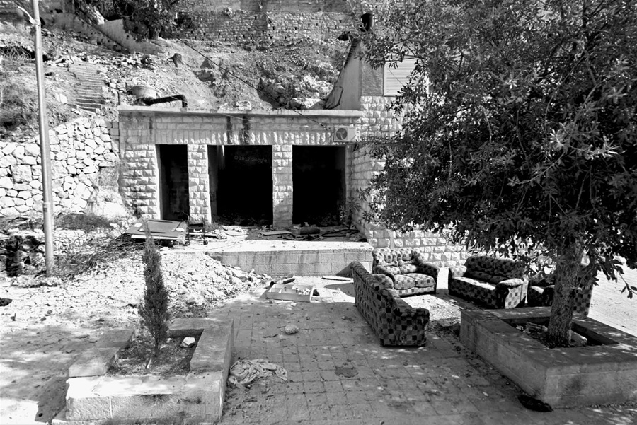
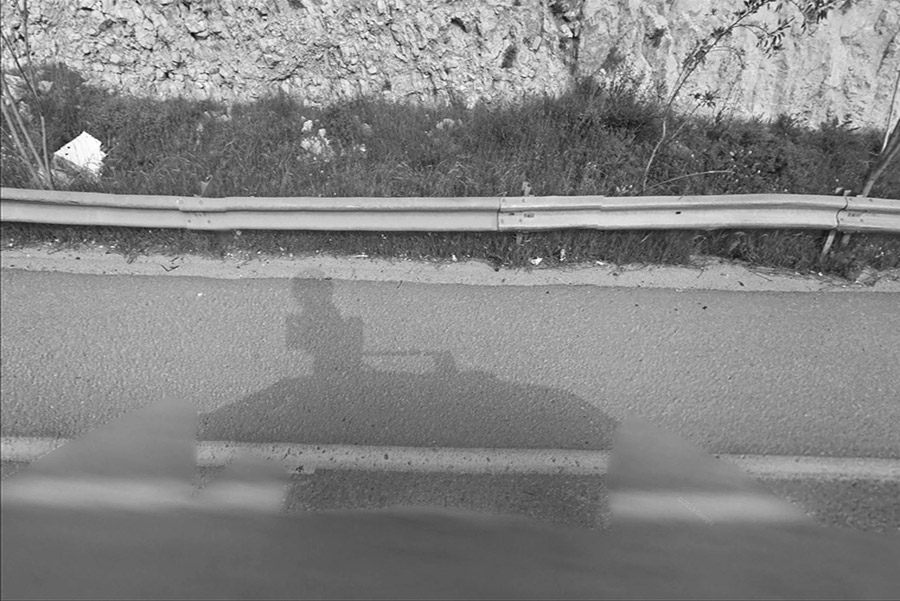
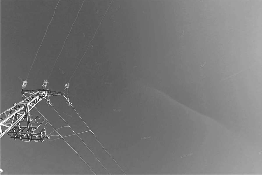
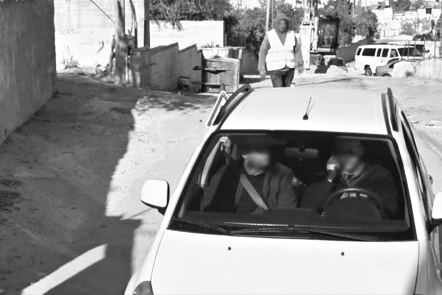
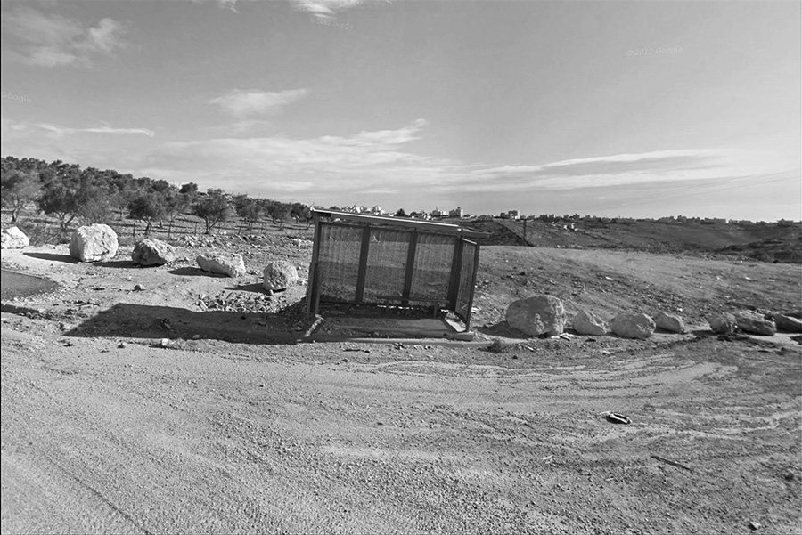
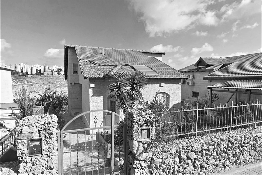
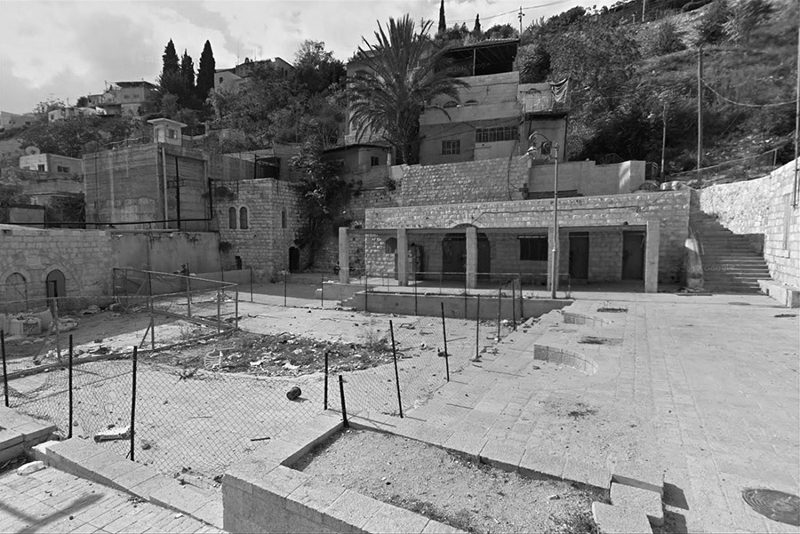
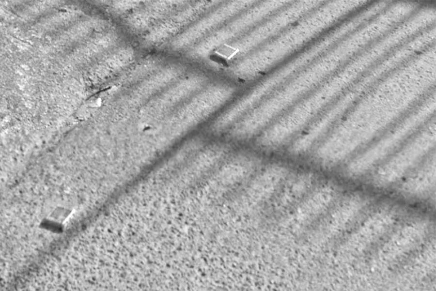
Considering the widespread availability of Streetview on the other side of the apartheid wall, there are only landmark images and occasional street names in busy cities such as Bethlehem, Nablus, and Ramallah. Proximityphobic, a project I have been working on since 2013, collects images at the very last location Streetview publishes them along the 1948 Armistice line – delineating Israel from the Palestinian Authority. While this collection of photographs has grown along with the addition of Google adding Streetview images, there remains a obvious technocratic line, not exactly a border but an ever-changing gradient of internet-based encroachment that crosses into the Palestinian territories. Both video and still images are used to create the piece - comprised entirely of screen recordings. The number of versions has grown over the years, now in its 5th iteration. The same collection has never been screened twice. The piece has no sound and images are cropped intentionally and desaturated of color.
|
|